
RAW Studio
☞ 民航處認可航拍機構
☜
☞ CAD recognised organisation ☜

持商業無人機認證飛行員資格
Certified of UAV Commercial Drone Pilot
Certified of UAV Commercial Drone Pilot
第三者責任保險已提高至USD2,000,000
USD 2,000,000 of Legal Liability to Third-Party included
USD 2,000,000 of Legal Liability to Third-Party included
☞ 專業資格 ☜
☞ Professional Qualification ☜
持民航處進階等級資格
Advanced Rating of CAD Qualification
Advanced Rating of CAD Qualification
持英國CDP-C™商業無人機飛行員認證資格
Hold CDP-C™ Certified Drone Pilot - Commercial of UK
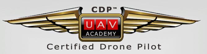
Hold CDP-C™ Certified Drone Pilot - Commercial of UK
☞ 服務☜
☞ Our Services ☜
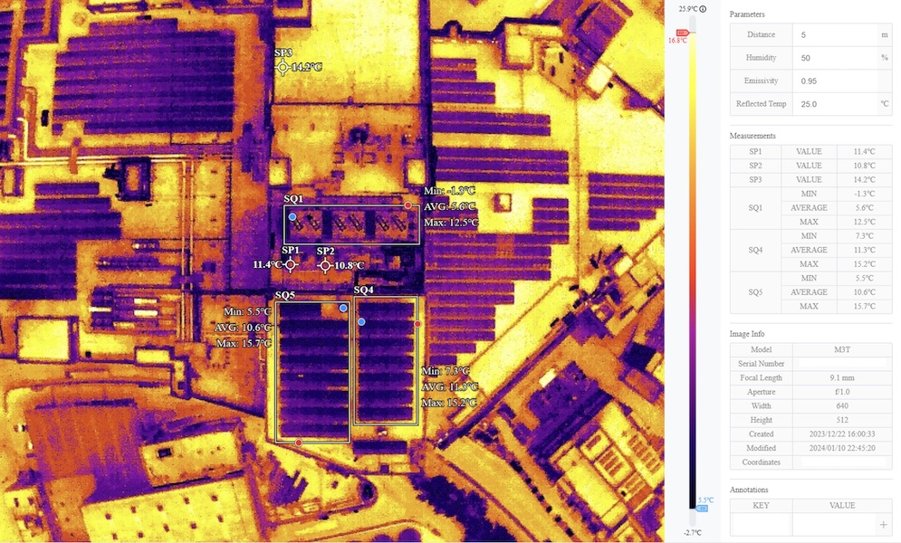
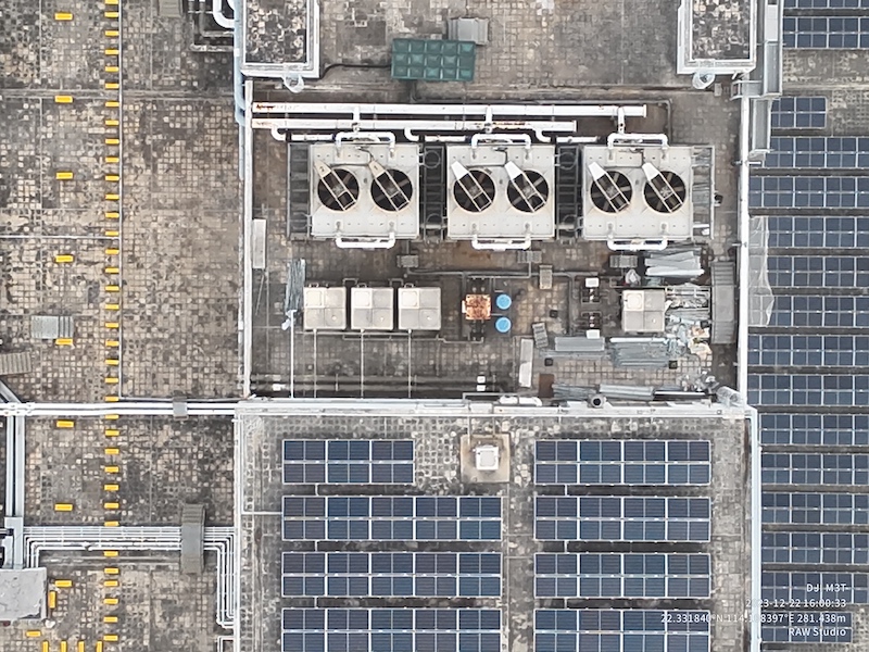
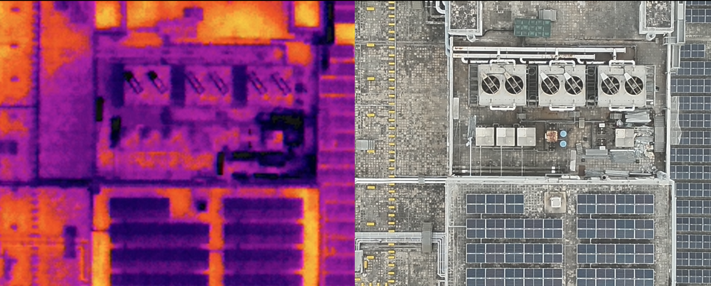
*紅外線攝影* | 商業航拍 | 工地勘察 | 地盤巡視
樓宇檢查 天面堪察 | 屋頂維修 | 立體建模 | 集團訓練 |
各類型攝製 | 協助機構申請航拍
Infrared photography | Aerial photography | Site Survey | Site Inspection | Building Inspection | Roof top repair | 3D modelling | Photogrammetry | Group training | Commercial photography | Video Production
Assist organisation to apply CAD permit of Aerial shooting
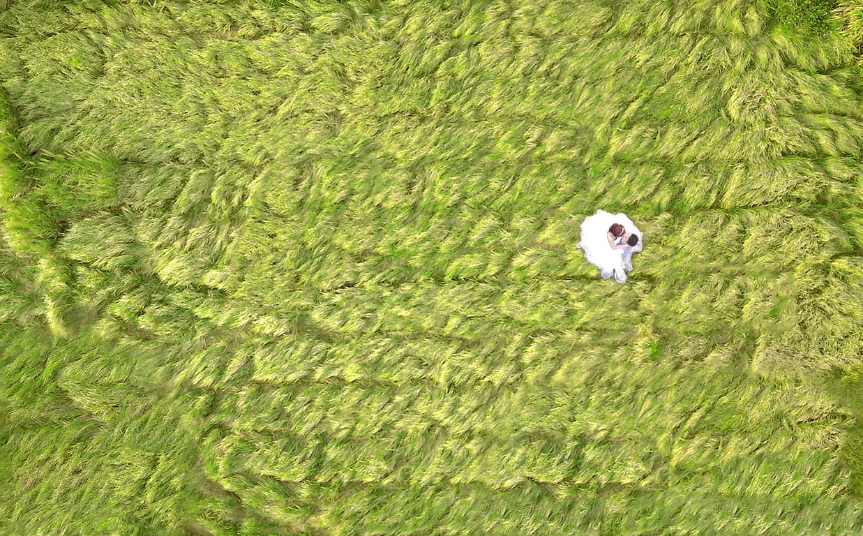
隨着社會的進步,無人機的應用越來越廣,航空拍攝也開始應用在測量、磡察、城市或企業宣傳片及一些婚慶場合。 這些全景式高視角的航拍鏡頭,能帶來很大衝擊力,起到點睛作用。
目前不少大型企業, 在製作企業形象宣傳片時, 亦加入不少航拍鏡頭。除此之外,航拍也普遍應用在測量和磡察工作上,因操作簡單,拍攝精度高,可通過無人機航拍測繪,製作地形圖。 無人機更廣泛應用於土地資源管理工作,比如地理信息測繪、應急搶救、土地巡查等,都能大派用場。
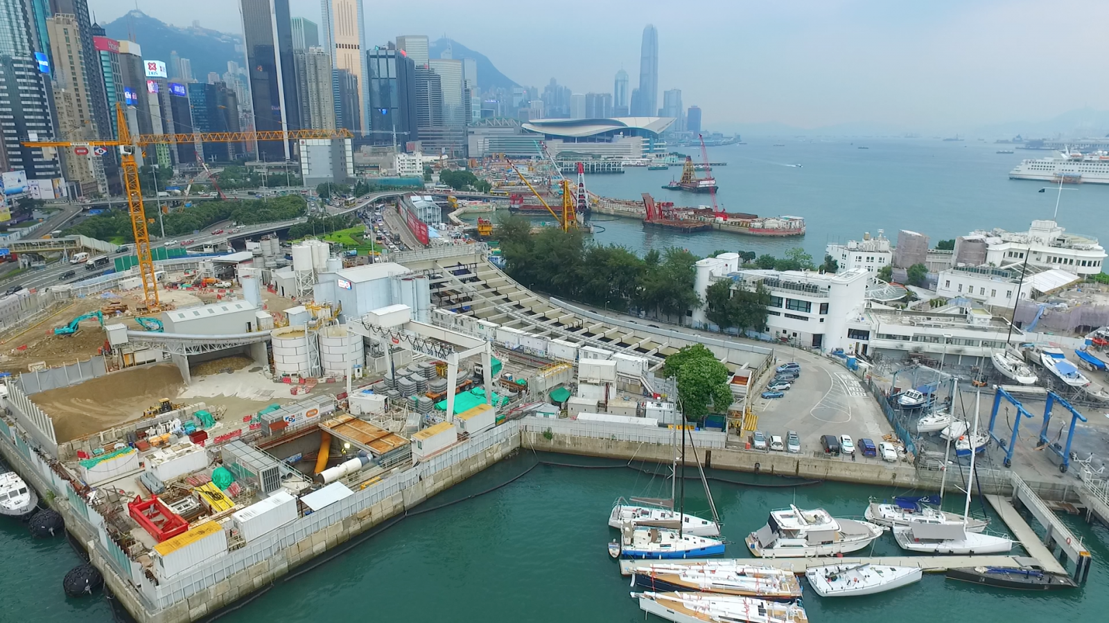
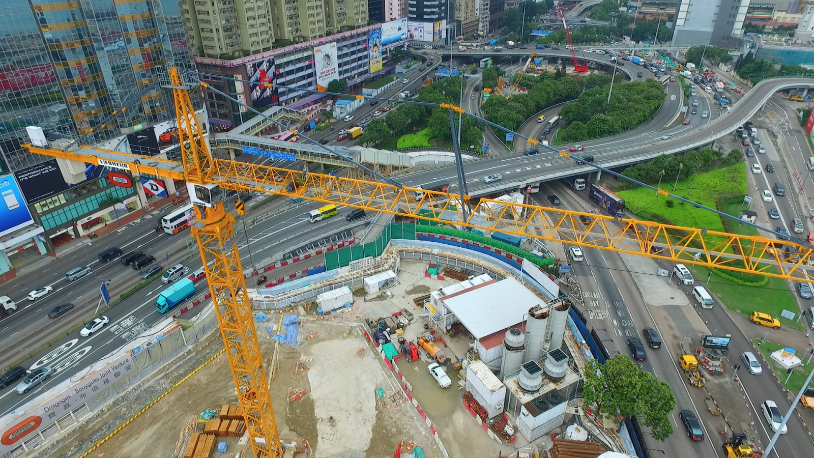
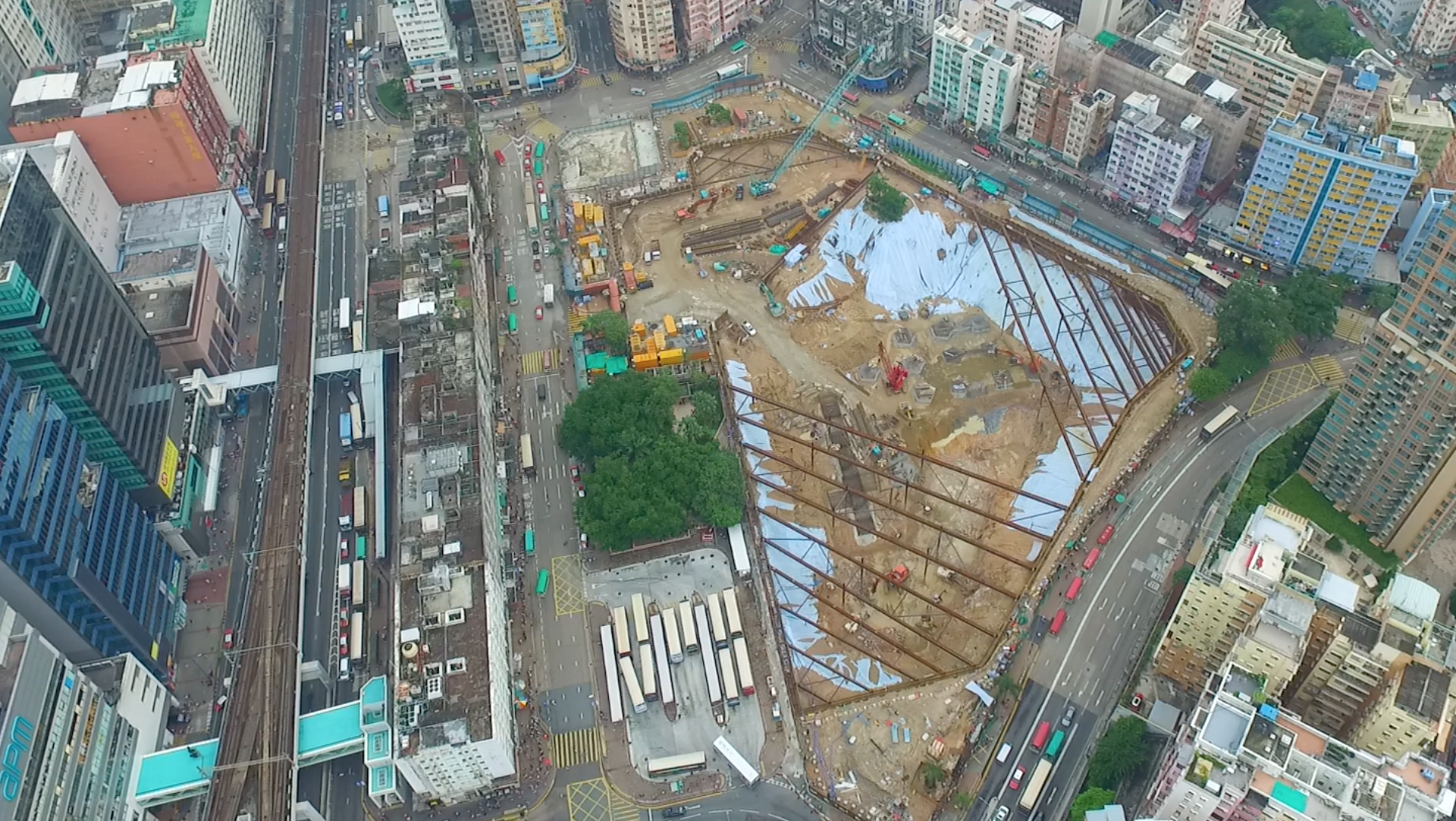
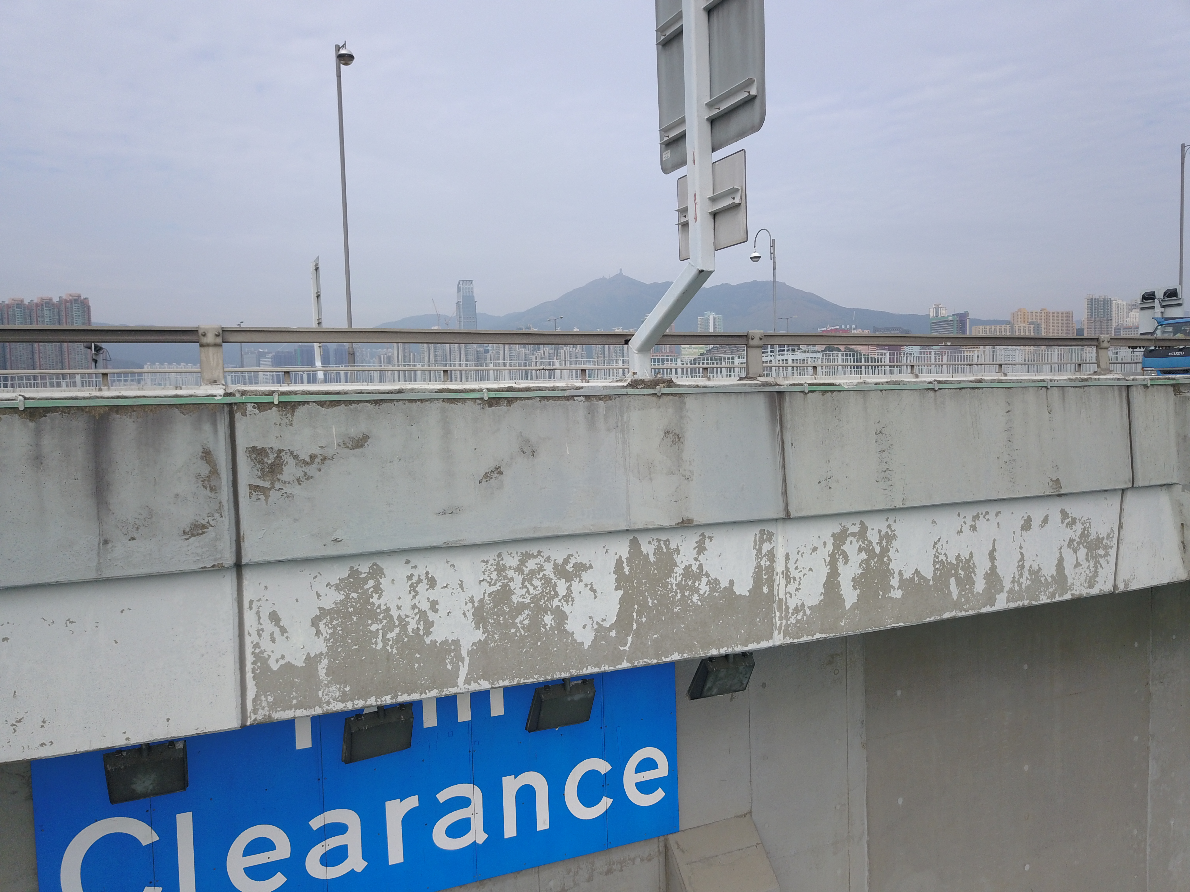
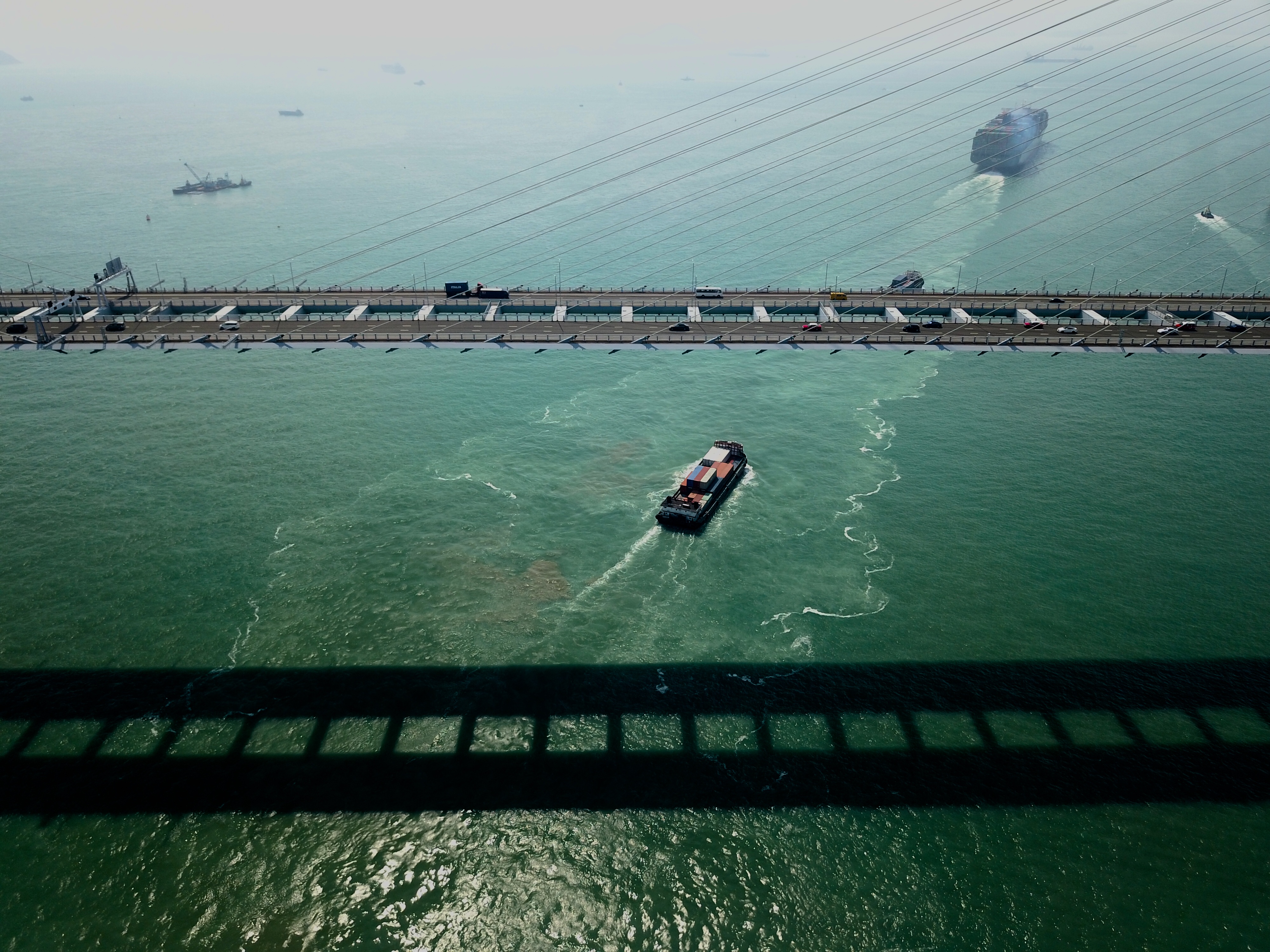
而在建築工界的應用更越來越廣泛 應用範圍包括集團宣傳片段及照片,場地考察, 䢖築物磡察,高架設備檢測,物業考察及測量, 地域觀測,地貌磡察,快速高空搜尋, 偏遠地區快速考察,危險地點預先探察,工業檢查, 遠程高級檢查, 景觀與拓撲調查, 農業調查, 物業展示,物業航拍,航空攝影,航拍視頻服務,沿海檢查,城市規劃,展示案例視頻/攝影,人群監測。
With the advancement of technology, the application of drones has become more and more extensive, and aerial photography has also begun to be applied in measurement, inspection, city or corporate video and some wedding occasions. These panoramic high-angle aerial photography lenses can bring a lot of impact and play a finishing role.
At present, many large enterprises have also added many aerial photography lenses when making corporate image videos. In addition, aerial photography is also widely used in measurement and inspection work. Because of its simple operation and high shooting accuracy, it can make aerial maps through aerial photography of drones. UAVs are more widely used in land resource management, such as geographic information mapping, emergency rescue, land inspections, etc., can be used.
The application in the construction industry is more and more widely used, including group propaganda clips and photos, site inspections, building inspections, elevated equipment inspections, property inspections and surveys, regional observations, geomorphological observations, rapid high-altitude search, Rapid inspections in remote areas, pre-exploration of hazardous locations, industrial inspections, remote advanced inspections, landscape and topological surveys, agricultural surveys, property displays, property aerial photography, aerial photography, aerial video services, coastal inspections, urban planning, demonstration video/photography, Population monitoring.
Infrared photography
立體建模
3D modeling | Photogrammetry


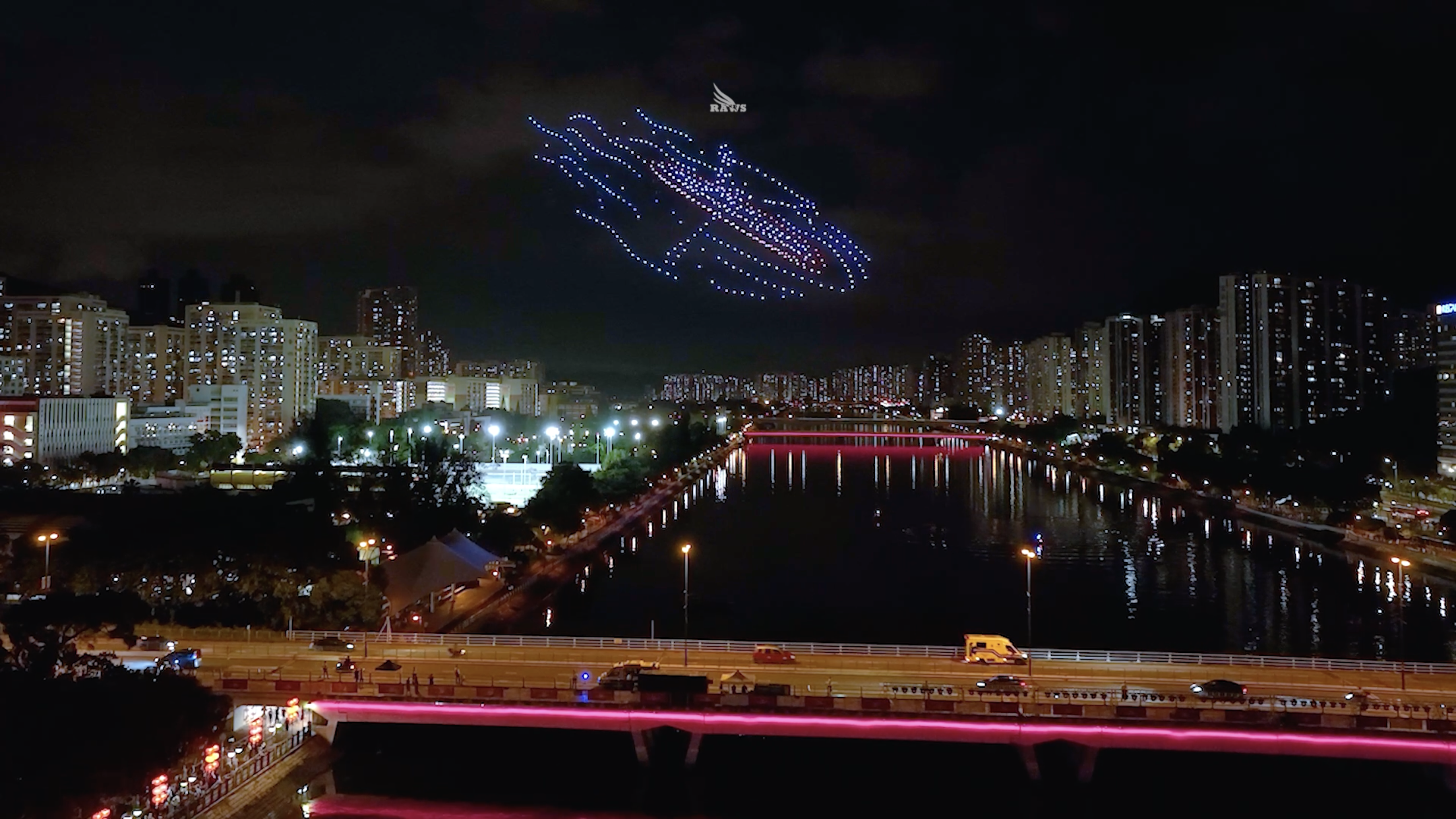
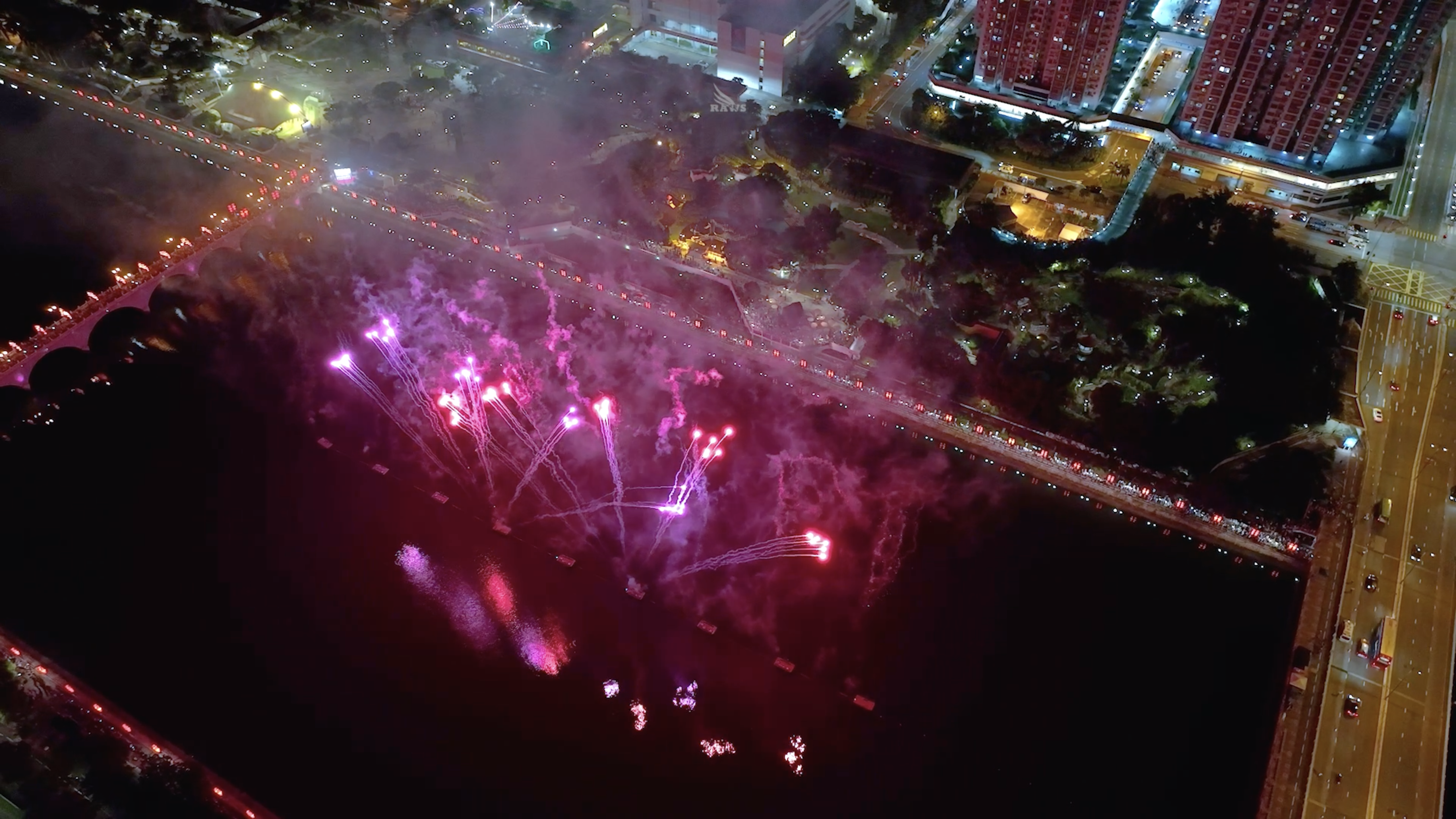
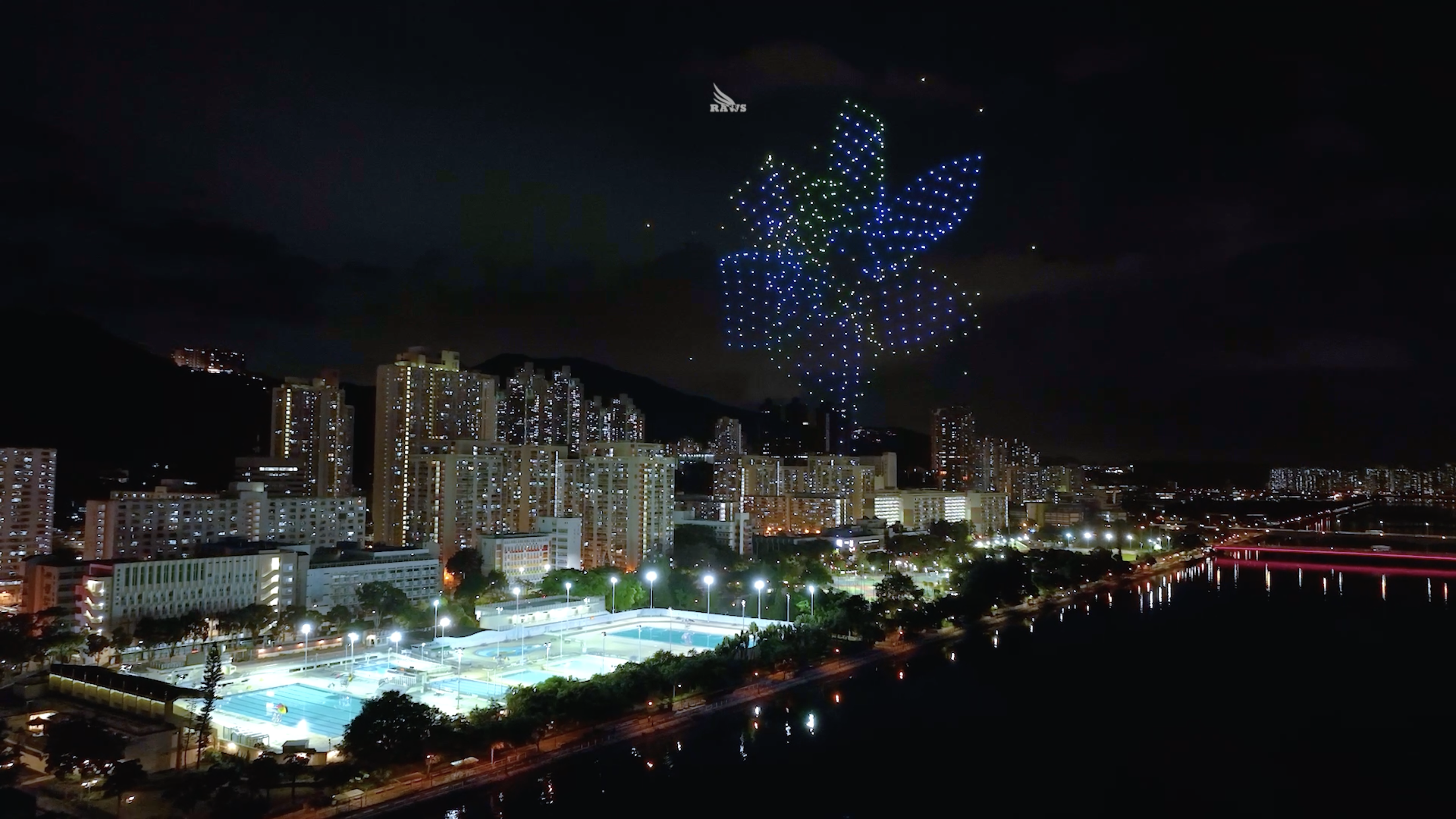
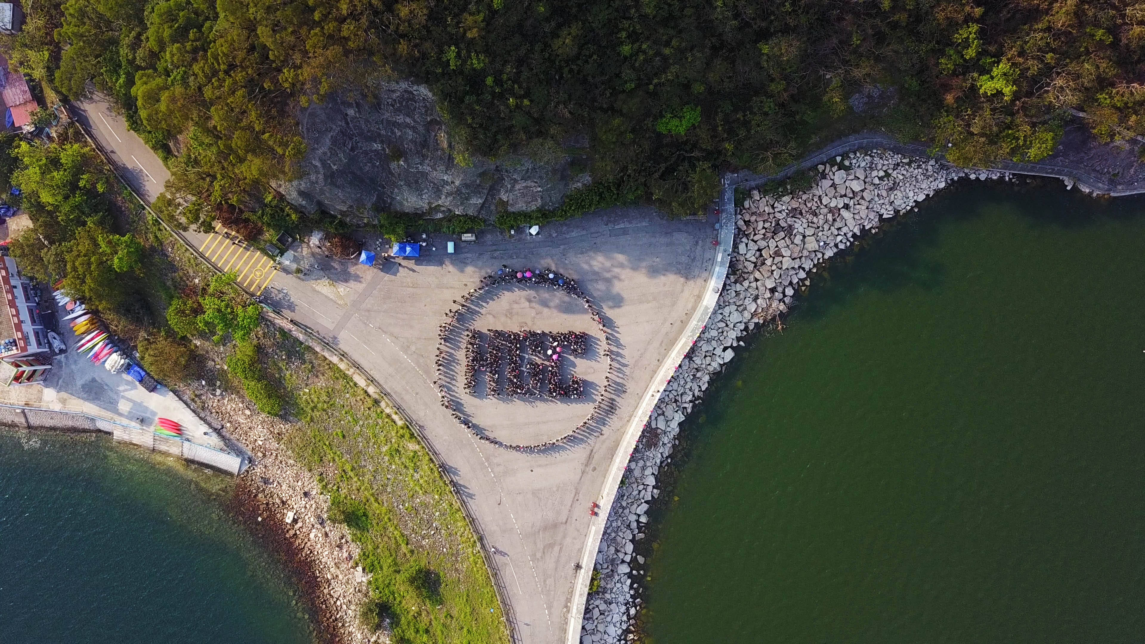
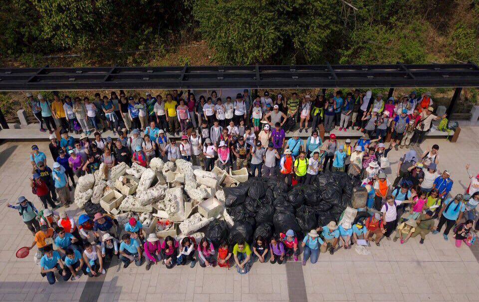
大型活動
Large Scale Events
Observation project
商業航拍制作
Commercial Aerial Photography
商業攝影
Commercial Photography
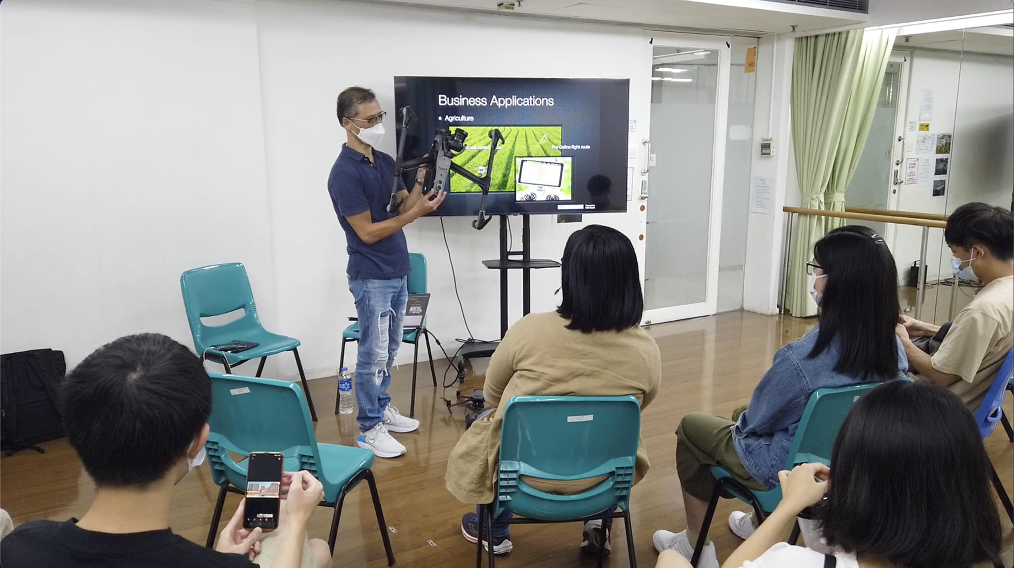
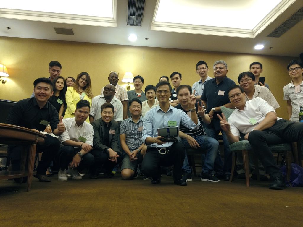
集團訓練
Corporate Training
ABOUT
關於我們
Biography
Found in 2016
Holder of CDP-C™ Certified Drone Pilot - Commercial
USD 2,000,000 of Legal Liability to Third-Party is included
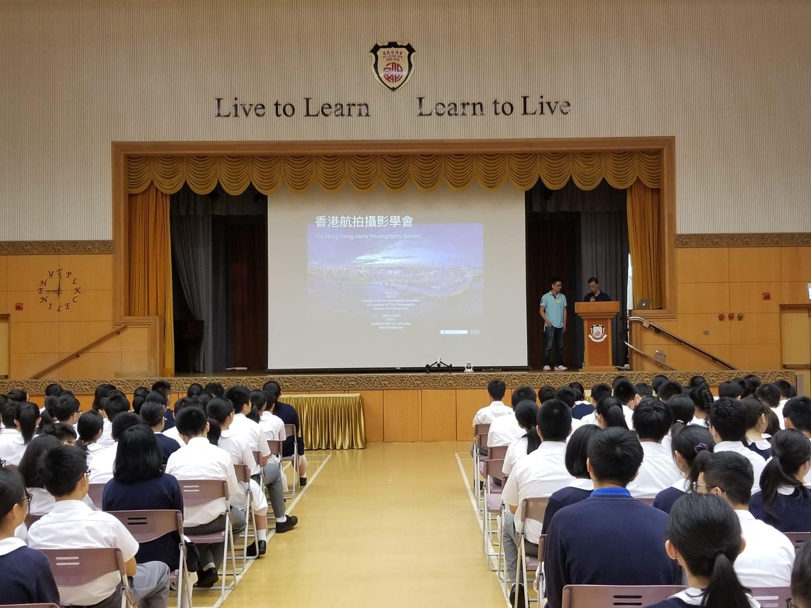
Founder of Hong Kong Aerial Photography Society
Holder of CDP-C™ Certified Drone Pilot - Commercial
USD 2,000,000 of Legal Liability to Third-Party is included
Founder of Hong Kong Aerial Photography Society
Customers
客戶
港深創新及科技園
Bachy Soletanche
法國地基
法國地基
ConTech pOint
建築科技實現室
BIM, Digital Management
建築科技實現室
BIM, Digital Management
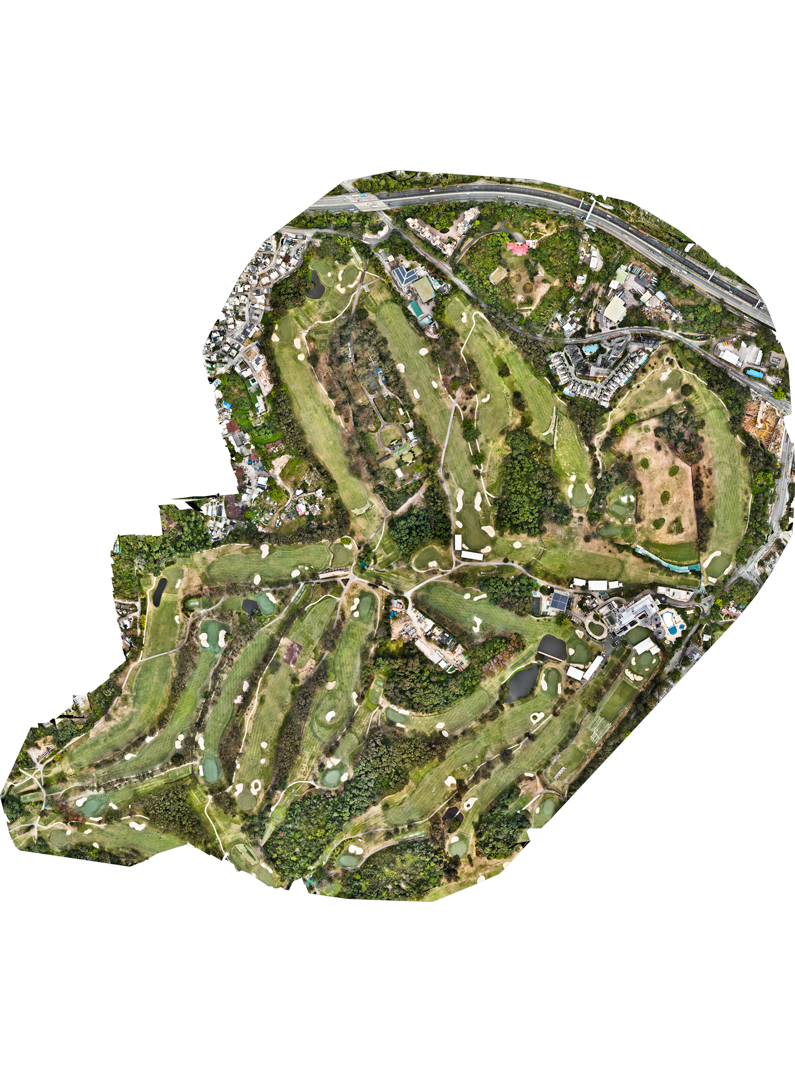
Hong Kong Golf Club
香港哥爾夫球會
香港哥爾夫球會
Clere Group Limited

HGC Global Communications
環球全域電訊有限公司
環球全域電訊有限公司

Hong Kong PolyU

荃景青年空間
PolyU SPEED
PLK Celine Ho Yam Tong College
美麗海岸關注組
沙頭角文化生態協會

香港中小企經貿促進會
-青企部
-青企部
CONTACT US
聯絡我們
九龍長沙灣荔枝角道822號2樓西翼
West Wing 2/F, 822 Lai Chi Kok Road, Cheung Sha Wan, Kowloon
contact@raws-hk.com


Click Here for Quotation
West Wing 2/F, 822 Lai Chi Kok Road, Cheung Sha Wan, Kowloon
contact@raws-hk.com